Valle nuevo National Park
Valle nuevo National Park
Valle Nuevo National Park in the National System of Protected Areas dates to 1983, when an area that had been considered worthy of special protection status since 1930 was designated as the “Valle Nuevo Scientific Reserve” due to its exceptional conditions. This management category was in effect for several years. In 1996, supported by Legal Decree No. 233/96, it was reclassified as a National Park, establishing defined boundaries with an approximate area of 910 km². Its status as a National Park and its boundaries were subsequently ratified by the National Congress through Law 64-00, which created the Ministry of Environment and Natural Resources.
Geology
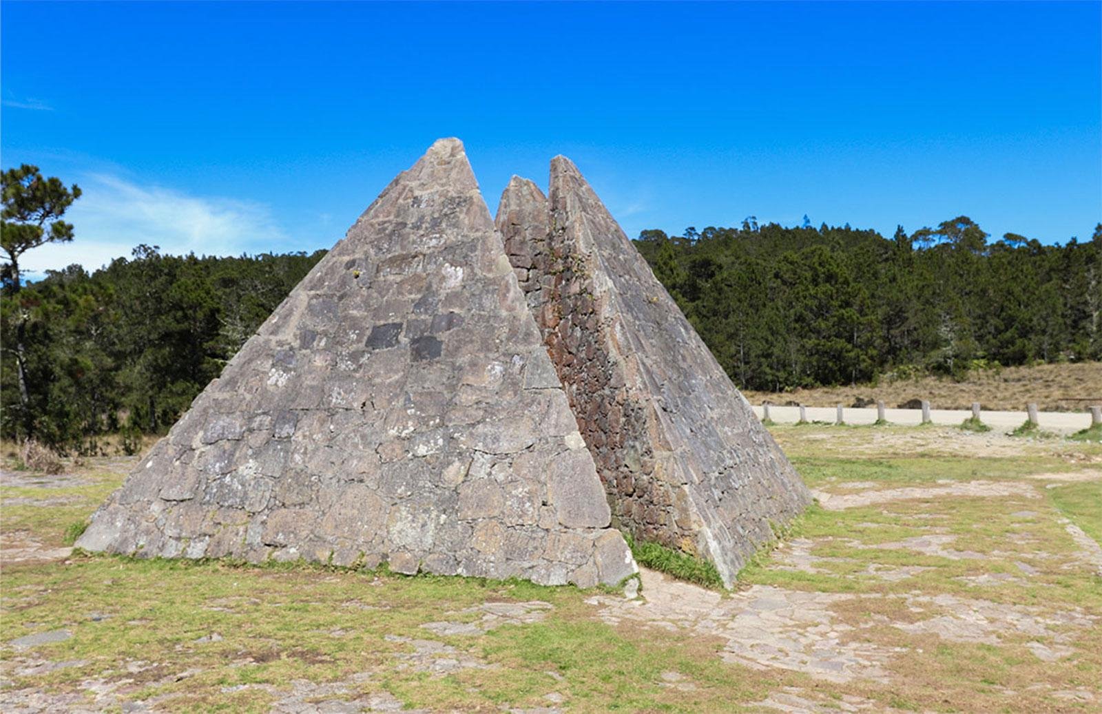
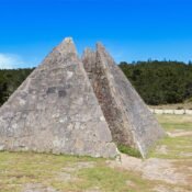
Valle Nuevo National Park covers a portion of the territory of the Central Mountain Range that projects southeast, forming a mountain massif consisting of a metamorphic basement intruded by igneous rocks, as well as volcanic rocks surrounded by a mantle of tertiary sediments. In its central zone, we find a plateau composed of a succession of savannahs and rolling hills with an average height of 2,250 meters above sea level (masl), surrounded by higher elevations such as Alto de Primera Cañada (2,625 masl), Alto de la Bandera (2,842 masl), which is the highest elevation within the park, La Tinita (2,764 masl), Loma Adentro (2,828 masl), Alto del Pichon (2,354 masl), Alto de la Piedra de Manuel (2,600 masl), Cerro Los Mochos (2,622 masl), and Monte Tina (2,659 masl). La Chorreosa (2,672 masl), Nalga de Maco (2,188 masl), and Pico Tetero Mejia (2,581 masl), among others. Different geological ages have been recorded in Valle Nuevo National Park, with areas documented as originating from the Cretaceous (part of the Yuna and Nizao basins) and others from Tertiary origin, as well as areas of possible glacial origin – specifically the Alto de la Bandera zone. Among the geomorphological features of possible glacial origin that support this assertion are cirques and arêtes, glacial channels, roches moutonnées, moraines, and depressions filled with peat, at elevations above 1800 masl.
Fauna
In this protected area, 66 species of birds, 48 species of butterflies, 29 species of reptiles, 17 species of amphibians, and several species of mammals have been recorded. Among the most characteristic species of the avifauna, we find the Cigua de Constanza (Zonotrichia capensis), the Canario (Carduelis dominicensis), the Cigüita del Pinar (Dendroica pinus), the Guaraguao (Buteo jamaicensis), Sierra Guaraguaíto (Accipiter striatus), the Jilguero (Myadestes genibarbis), the Zumbador Esmeralda (Chlorostilbon swainsonii), and the Chua-Chuá (Turdus plumbeus). Of the reported bird species, eight are considered threatened, including: the Perico (Aratinga chloroptera), Cao (Corvus palmarum), Golondrina Verde (Tachycineta euchrysea), and the Pico Cruzado (Loxia megaplaga). Additionally, 48 species of butterflies have been reported. Of this total, 13 are endemic to the Dominican Republic, with seven of these inhabiting exclusively in the Central Mountain Range. Among these species are Anetia jaegeri, Greta diaphanus, Dismorphia spio, Calisto grannus, Calisto chrysaoros, Calisto arcas, Antillea pelops, Eurema lisa, Battus zetides, and Agraulis vanillae. In the Valle Nuevo region, 27% of the amphibians reported for Hispaniola live, which, in taxonomic terms, are distributed among three families: Eleutherodactylidae, Hylidae, and Bufonidae. The Eleutherodactylidae family is represented by the genus Eleutherodactylus, with 12 species, including Eleutherodactylus minutus, Eleutherodactylus haitianus, Eleutherodactylus patriciae, and Eleutherodactylus melatrigonum. Within the genus Osteopilus, we find three species: Osteopilus vastus, Osteopilus pulchrilineatus, and Osteopilus dominicensis. The genus Hypsiboas is represented by Hypsiboas heilprini, while the Bufonidae family includes one introduced species: Bufo marinus. This national park houses 20% of the reptiles reported for the island, distributed across nine families.
Flora
In Valle Nuevo National Park, 531 plant species are recorded, of which 401 are spermatophytes and 130 are ferns and related species. These species are distributed among 103 families and 347 genera. There are 138 endemic species of Hispaniola; among these endemic species, Vegaea pungens and Pinguicula casabitoana (a carnivorous plant) stand out. Of the total reported families, 15 are introduced, represented by 73 species and 46 genera. The most diverse families are: Asteraceae, Poaceae, Cyperaceae, Orchidaceae, Bromeliaceae, Euphorbiaceae, Melastomataceae, Ericaceae, Myrsinaceae, Piperaceae, Onagraceae, Scrophulariaceae, Rubiaceae, Urticaceae, and Verbenaceae. Several types of vegetation with local variants are reported for the area, which is due to the fact that this park encompasses different environmental gradients: topography, geology, altitude, and temperature.
Climatology
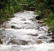
The climatic conditions of Valle Nuevo are determined by the same factors that influence the characteristics of the climate of the Dominican Republic, namely: latitude, insularity, relief, elevation, and trade winds. These conditions have endowed the area with temperatures below the usual for the country, making its climate one of the main attractions, as visitors can enjoy temperatures between 14º and 25º Celsius during the day, and below 12º Celsius at night throughout the year. Between November and April, frequent drops in temperature below zero degrees Celsius occur at night, producing frequent nocturnal frosts. Extreme temperatures of less than seven degrees Celsius (–7 ºC) have been recorded. Immediately after passing the rental cabins of Villa Pajón, one reaches the foot of the Alto de Primera Cañada mountain, from where the view dominates the small valley called “El Valle Nuevo” or “El 25”; looking northwest, one can observe the highest peaks of the Central Mountain Range and the Caribbean: “Duarte,” “La Pelona,” and “La Rusilla” or “Pico Yaque.” Continuing north, one will see impressive volcanic mountains, geological features of possible glacial origin, dense forests, and countless valleys and savannahs. As one continues the north-south route, the visitor will observe on their left a deep depression: the Valley of the Oaks. Continuing south, one will arrive at the military post of Rancho en Medio (also known as Valle Nuevo). There, the crossing of the restricted access road that leads to the Alto de la Bandera (2,842 meters high), where there are numerous telecommunications facilities, can be found. If you turn your gaze east, on a clear day, you can see the imposing summit of this mountain covered by multiple antennas.
Threats
The same biogeographical forces that shaped this wonderful national park have also generated its vulnerability, as its ecosystems are fragile in the face of threats caused by humans. The relative size of its flora and fauna populations, and their location in relatively small localities, exposed to threats and pressures generated mainly by human activities, is another factor that affects its fragility and vulnerability. Among the main threats are the elimination and fragmentation of forests due to extensive agriculture, the alteration of the natural fire regime, and the contamination of soils and waters from petrochemical use, both caused by agricultural activities and the introduction of invasive species. This complex mix of threats generates pressures that produce changes in the composition, structure, and balance of natural communities, while causing a decrease in the quantity and quality of water, leading to deterioration, fragmentation, and loss of habitat, with the consequent loss of biodiversity and soils, contributing to aggravating the effects of climate change.
Access Routes
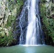
Valle Nuevo National Park is traversed by the road that connects San José de Ocoa and Constanza, which runs in a north-south direction. This offers visitors the opportunity to enter from the north (Constanza) or from the south (San José de Ocoa). It is advisable to travel to the park in a four-wheel drive vehicle (4X4). Upon arriving in Constanza, take the aforementioned road southward. About 200 meters after the Constanza Aqueduct, the road forks in two directions: toward Convento (left) – the route for those wishing to visit the Salto de las Aguas Blancas – and toward Rio Grande (right), the shorter route to reach the park entrance at La Siberia. These two routes coincide again at the intersection, just at the entrance to the national park. The north entrance of the park is located in the area of La Siberia, named for the cold climate of the place. There is the Ministry of Environment and Natural Resources booth. From the moment the visitor passes the control and access barrier to the park, they enjoy exceptional landscapes.
Recent Posts
Valle nuevo National Park
Armando Bermudez National Park
Salto de Aguas Blancas

Nassau Bahamas local tour company

Nassau to Atlantis resort taxi